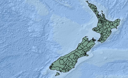
For written works that use geoBoundaries in analysis, we ask that you cite our PLoS One Publication. We recommend either of the below (long or short form) citations, but feel free to adapt to your own citation style.
Short Form: Runfola, D. et al. (2020) geoBoundaries: A global database of political administrative boundaries. PLoS ONE 15(4): e0231866. https://doi.org/10.1371/journal.pone.0231866
Long Form: Runfola, Daniel, Community Contributors, and [v4.0: Lindsey Rogers, Joshua Habib, Sidonie Horn, Sean Murphy, Dorian Miller, Hadley Day, Lydia Troup, Dominic Fornatora, Natalie Spage, Kristina Pupkiewicz, Michael Roth, Carolina Rivera, Charlie Altman, Isabel Schruer, Tara McLaughlin, Russ Biddle, Renee Ritchey, Emily Topness, James Turner, Sam Updike, Helena Buckman, Neel Simpson, Jason Lin], [v2.0: Austin Anderson, Heather Baier, Matt Crittenden, Elizabeth Dowker, Sydney Fuhrig, Seth Goodman, Grace Grimsley, Rachel Layko, Graham Melville, Maddy Mulder, Rachel Oberman, Joshua Panganiban, Andrew Peck, Leigh Seitz, Sylvia Shea, Hannah Slevin, Rebecca Yougerman, Lauren Hobbs]. "geoBoundaries: A global database of political administrative boundaries." Plos one 15, no. 4 (2020): e0231866.
When using geoBoundaries
on the web, we ask that you put the name "geoBoundaries" with a link back to this website,
www.geoboundaries.org, somewhere prominent on the page that uses the boundaries. This can be a stand-alone link or within a sentence.
If you are using geoBoundaries in a product that is
not written or a website (i.e., an application or movie), we ask that you put the name "geoBoundaries" somewhere prominent in the product, for example in the credits or as a link in the help menu. The full URL should be used if the user cannot click the name - for example, we prefer "www.geoboundaries.org", rather than "geoBoundaries" in those cases. We would also love to hear about unusual ways geoBoundaries is being used - if you have a moment, please shoot us an email and let us know what you're up to (team@geoboundaries.org)! If you have any cases that are not covered here, we recommend reading the
Creative Commons best practices for attribution guide, which covers an even wider range of cases.
